
Washington ZIP Codes and What They Cover
The Washington ZIP code directory starts with one verified city delivery ZIP, then labels nearby postal areas instead of treating them as Washington City. Official sources use 84780 for Washington City street delivery. St. George, Hurricane, and Santa Clara have different postal geography. A ZIP is a mail-service area, not a resident list, city limit, parcel boundary, or school district.
| ZIP Code | Areas Covered | Post Office | Notes |
|---|---|---|---|
| 84780 | Washington City standard street delivery | Washington Post Office | 25 W Telegraph St; official page uses Washington, UT 84780-8010 |
| 84770 / 84790 | Nearby St. George postal areas | St. George offices | Washington County comparison, not Washington City proper |
| 84737 | Nearby Hurricane postal area | Hurricane office | County context, not Washington City proper |
| 84765 | Nearby Santa Clara postal area | Santa Clara office | UGRC notes county adjustments; not counted as city ZIP |
No second USPS ZIP serving Washington City proper was located in the inspected official sources. A completed USPS city/state result was not captured, so that gap stays visible. The Washington post office page lists `(435) 673-9297`, Monday through Friday 9–5 and Saturday 10–1. Use the USPS ZIP Lookup for a street and unit, or for a city/state or cities-by-ZIP search, but follow its warning that a result does not confirm a person or company at an address.
The Washington post-office listing is the local source for the station address and hours.
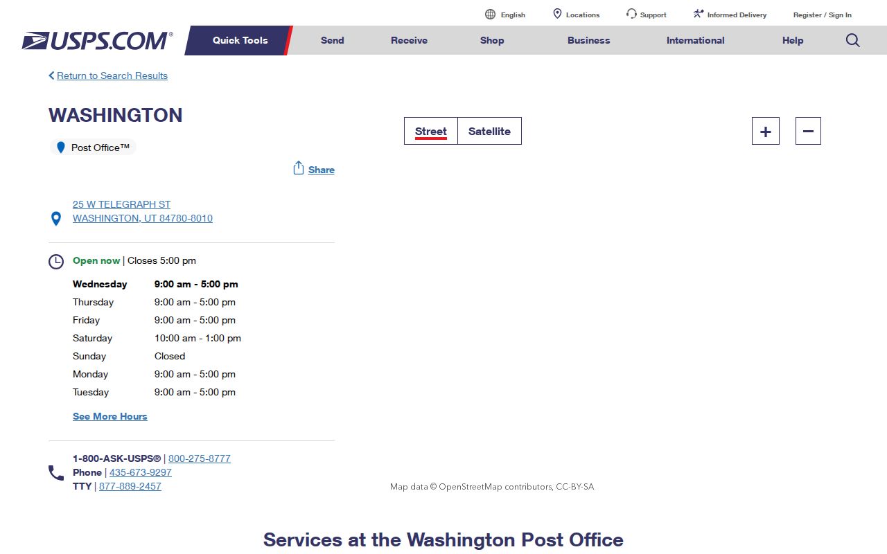
That postal listing supports the verified city ZIP while leaving person identity outside the lookup result.
Finding Residents by ZIP Code
A ZIP-keyed search is a narrowing step, not a complete Washington resident directory. USPS verifies a postal assignment. County GIS checks the address point, parcel, street grid, subdivision, and city context. Utah business and professional tools accept ZIP filters for entity or license records. Voter data uses county, precinct, district, scope, and formal request fields rather than a simple public ZIP-wide list. The Assessor’s exact ZIP control was not located.
- Check the full street, unit, city, state, and ZIP with USPS, keeping the returned postal result separate from person identity.
- Open the county GIS ZIP and address layers, then compare the address point, parcel, subdivision, and city-limit layers.
- Use a property or Recorder search for a defined parcel question, not a claim that every household is listed.
- For voter information, specify county, precinct or district, allowed fields, purpose, and requester category on the official form.
- When the ZIP only narrows the area, move to the Washington street directory for parcel and address work.
That handoff matters. ZIP polygons can overlap a city edge, while parcels and address points answer a different geographic question. Keep postal city, governmental city, county, parcel, and subdivision as separate labels.
The Utah ZIP feature service is a boundary-context source.
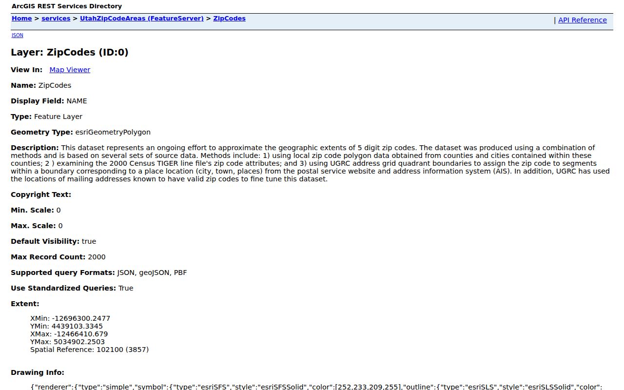
Its polygon is useful for broad geography, not for exact city jurisdiction or household identity.
ZIP Code Boundaries vs Washington City Limits
Utah Geographic Reference Center ZIP polygons are approximate mail-service areas. They do not represent exact geography or prove municipal jurisdiction. County GIS has ZIP Codes, Washington City grids and quadrants, address points, parcels, subdivisions, streets, city limits, flood, zoning, historic parcels, and aerial layers. Compare those layers when a Washington mailing address sits near a boundary.
- ZIP versus ZIP+4
- A five-digit postal area versus the extra four digits that refine delivery.
- PO-box ZIP
- A postal code used for boxes rather than ordinary street delivery.
- Unique ZIP
- A code assigned to one large institution or special delivery operation.
- Carrier route
- A delivery path inside a postal area, not a neighborhood or household boundary.
Washington GIS Adds the Crosswalk
The county GIS AddressSystems service includes Washington City address grids and quadrants. Its parcel layer exposes account number, parcel number or TAX_ID, subdivision name, ownership, image, and property-report links. The layer helps reconcile postal and property geography, but its ownership label is not an occupancy field.
The 2015 Washington City subdivision map names Washington Vista, Silverstone, The Links, Buena Vista, Brio, New Warm Springs, Washington Hollow, Highland Park, Coral Canyon, Redlands, Indian Knolls, The Fields, The Heights, Silver Falls, Chaparral Ridge, and Majestic Heights. That map is a planning graphic with an approximate boundary, not a current legal or association roster.
The Utah ZIP boundary page explains the service-area caveat.
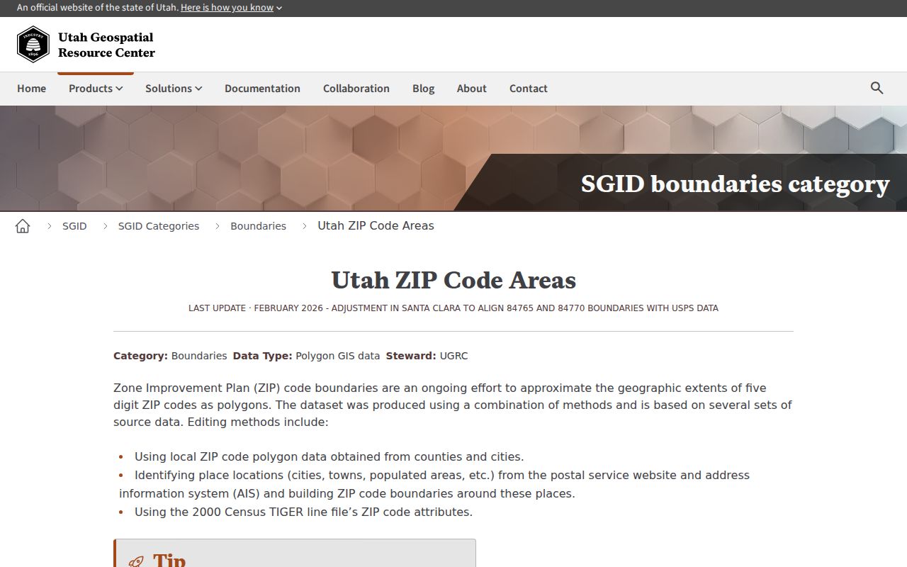
Use the map to compare ZIP context with county parcels, not to draw a resident boundary.
| Layer | What it answers |
|---|---|
| USPS lookup | Postal assignment for a complete address or city/ZIP route. |
| County address point | Address-grid and street context. |
| Parcel/TAX_ID | Property identity and map link. |
| UGRC polygon | Approximate ZIP service-area context. |
USPS Fields for Washington Addresses
The USPS address route requires a street and city/state, with a unit or apartment when applicable. Its other routes accept a city and state or ask for cities by ZIP. Those are postal input paths, not person-search fields. USPS recommends adding a unit for accuracy and warns that a returned ZIP does not confirm a person or company at the address.
| Input route | Use in a Washington search |
|---|---|
| Street address | Check number, street, unit, city, state, and ZIP assignment. |
| City and state | Find postal options without claiming a municipal boundary. |
| Cities by ZIP | See postal city labels associated with a ZIP. |
After the USPS result, compare the county address point and parcel. If the two systems differ, preserve both labels and ask the proper office before changing a record.
Washington ZIP Filters Are Not Rolls
A ZIP filter in a business, license, notary, or construction registry returns the record type held by that service. Utah business data may return an entity, registered agent, principal, or address. DOPL returns a license or credential, and the construction registry covers active opt-in licensees. Notary search returns a current commission route. None is a household roster or residence proof.
Use ZIP as one field among several: exact entity or license name, status, date window, city, parcel, or official role. Keep the result’s purpose visible and avoid joining it to voter, court, or property data merely because the ZIP matches.
Recent Washington ZIP Maintenance
UGRC notes June 2025 Washington County changes and February 2026 adjustments affecting Santa Clara, 84765, and 84770. No Washington City-specific realignment was confirmed. The county map inventory and GIS services also carry current and historic layers, including aerial years through 2026 and historic parcel layers through 2026. A ZIP code directory should preserve the service update date.
Postal updates can change delivery routing without changing a city boundary or parcel record. If USPS and GIS disagree, record both outputs, verify the complete unit and street, and ask the relevant custodian. Do not call a mismatch an error until the postal or GIS office confirms it.
Note: ZIP 84780 is the verified Washington City postal route in the research, while nearby ZIPs are comparison geography.
The Census Washington City profile adds a dated city-geography reference.
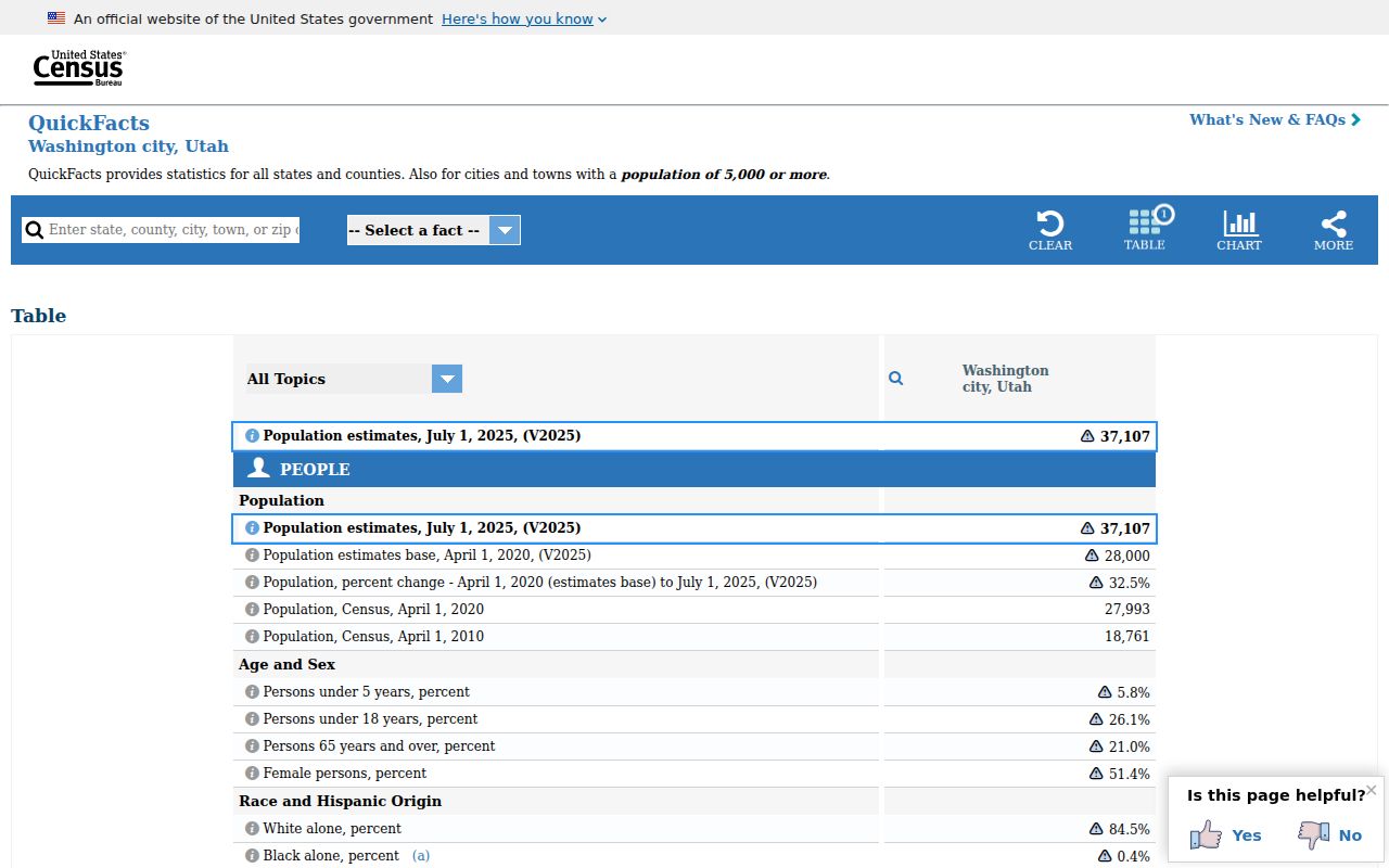
A Census profile describes the municipality, while a ZIP describes postal service geography.
Washington ZIP Search Limits
A Washington ZIP code directory can organize geography, but it cannot prove who lives at an address. USPS expressly disclaims that use. A county parcel map can show a property relationship, not every occupant. A voter request is regulated by scope, purpose, fee, and privacy rules. Safe at Home and voter withholding can protect addresses, and exact assessor ZIP fields were not located in the inspected source.
Use ZIP data for mail correction, broad family-history geography, parcel cross-checks, and civic orientation. Do not publish raw voter extracts, combine ZIP with protected data, or turn a nearby postal area into a Washington City resident claim. When a name is the real starting point, the resident lookup workflow is more precise than a ZIP-wide search.
The county and state portals also use different filters. Utah business data can accept entity type, NAICS, ZIP, recent changes, new registrations, and status. DOPL professional and construction tools can use city or ZIP, while notary search uses business city and business ZIP. These filters locate a business or credential record. They do not turn a postal code into a household directory. If a Washington ZIP search returns a business principal, licensee, or registered agent, preserve that role and business address instead of calling it a resident result.
A precise address request should include the unit when one exists. USPS recommends adding the unit for accuracy, and the county address point should be compared with the returned postal city. If the postal city says Washington but the parcel lies outside the municipal line, report both facts. If a historic address lacks a current ZIP, use the old source, legal description, abstract, and dated map before applying a modern postal code.