
Looking Up Your Washington Neighbors
Washington neighbors are best understood as a block’s geography and public institutions, not as a ready-made household list. County GIS can show adjacent parcels, address points, subdivisions, zoning, flood, aerial, and ownership labels. The city map gallery adds facilities, parks, trails, historic sites, cemetery context, voting districts, and other civic layers. Each source has a date and a limit.
| Source | What It Shows About a Block | Access |
|---|---|---|
| Washington County parcel/GIS | Adjacent parcels, ownership labels, address, subdivision, zoning, flood, aerial | Public viewer and REST metadata |
| Assessor property report | Parcel relationship, situs and mailing context, property details | Public viewer; exact fields vary |
| Voter data request | Allowed fields by county, precinct, district, and voter type | Formal request, purpose, fee, privacy rules |
| Washington City map gallery | Facilities, parks, historic sites, cemetery, voting, trails, zoning | Public maps; disclaimer and fees |
| Washington Vista HOA records | Map, bylaws, declaration, rules, newsletters, minutes, budgets | Private Utah 1st provider; no member list |
| Watch, Lions, and civic pages | Safety contacts or public meeting leads | Public institutional information, not rosters |
A parcel owner is not necessarily an occupant. A mailing address is not the situs. A voter may be protected or withheld. An HOA document can describe governance without naming members. The research found no public block-level household roster and no official citywide neighborhood-association umbrella directory.
The Washington City services directory is the municipal route for public contacts around a block.
It supplies public office and service context, not a list of households.
Mapping a Washington Block: Parcels and Owners
Use the county GIS viewer to move from one Washington address to its immediate parcel context. Search or map-browse the parcel, zoom to the street segment, click adjoining polygons, and use identify, query, copy, snapping, ownership, or report functions where the layer enables them. Exact buffer or radius labels were not exposed, so describe the method as adjacent-parcel browsing rather than promising a radius tool.
- Normalize the address with USPS, then locate its address point and parcel in the Washington County GIS viewer.
- Record parcel/account/TAX_ID, subdivision, street context, map date, and the official ownership or property-report link.
- Click nearby parcel polygons and label each result as parcel context, not a confirmed household or occupant.
- Compare city-limit, ZIP, zoning, flood, and subdivision layers when the block sits near a boundary.
- For a full named-street chain, move to the Washington street directory method.
The block method is geographic. It answers which parcels touch or sit near the starting parcel. It does not answer who receives mail, who rents, who belongs to an association, or who is currently home. A source card should show the layer, date, and official map link.
The Washington City map gallery is a second public map source for facilities, historic sites, parcels, voting, parks, and zoning. The gallery’s accuracy disclaimer and map fees belong beside any map-based neighborhood conclusion.
Washington Vista Has Private Records
Washington Vista is a named local development, but its HOA documents are not a public resident roster. The Utah 1st management page hosts a map, bylaws, declaration, rules, newsletters, board minutes, and budgets. No open member directory was located. Treat these as private association records and verify the current manager before relying on a document.
The 2015 city subdivision map also names Silverstone, The Links, Buena Vista, Brio, New Warm Springs, Washington Hollow, Highland Park, Coral Canyon, Redlands, Indian Knolls, The Fields, The Heights, Silver Falls, Chaparral Ridge, and Majestic Heights. A subdivision, HOA, ZIP, census block, and city limit are different geographies.
The Washington Vista HOA provider page shows the private document route.

Governing documents can explain an association’s scope, but the research found no public member directory.
Washington City Police
Public-safety and records route
Use the city page for official contacts and GRAMA links.
City Neighborhood Watch
Community safety handout
Contacts are institutional, not a member list.
Washington’s Block Has Civic Layers
Washington City’s neighborhood-watch material provides emergency, dispatch, police, code-enforcement, animal-welfare, fire, and public-works contacts, plus a fill-in contact person. It is a 2018 safety handout, not an association roster. City Lions information identifies public meetings at the Old School Gym, 25 E Telegraph, on the second and fourth Thursdays at 7 p.m. A public meeting lead is not proof of membership or residence.
The city’s historic places add context. The Old School/Museum, Cotton Mill, Covington Home, cemetery, parks, and trails can help explain a block’s place history. Keep a person’s name attached to the dated source, role, or event. Do not convert attendance into a current Washington address.
The Washington City Police page identifies the public-safety records and contact route.
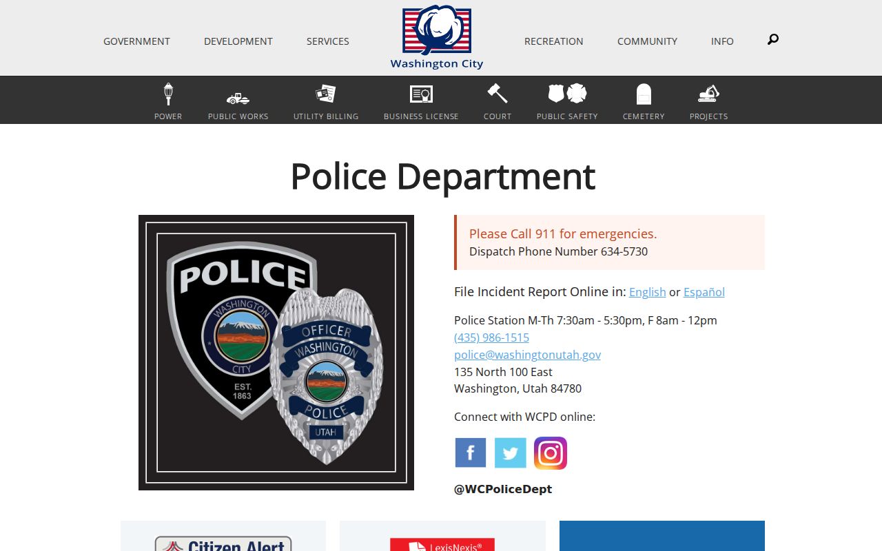
Police and code pages help route a safety or records question, but they do not create a public neighbor roster.
Official Rolls Versus Neighbor Tools
Official sources expose a custodian and a record definition. A commercial neighbor-lookup category may combine addresses, marketing data, and association claims, but it is not an authoritative block record. The comparison below keeps the difference clear.
| Source type | Useful for | Limit |
|---|---|---|
| County GIS and Assessor | Parcel, owner relationship, address, map context | Owner is not occupant; maps have dates and disclaimers |
| Voter request | Allowed public fields by scope | Formal purpose, fee, protected records, and current-law changes |
| Private neighbor tool | Possible broad lead | Variable provenance, identity matching, freshness, and opt-out process |
Washington Address Privacy Matters
Household members, utility customers, delivery recipients, and private club or HOA members are not public block fields. Driver records are restricted. Utah voter data protects full date of birth, driver or state ID, Social Security number, email, and phone, while at-risk records remain subject to withholding and current classification. Safe at Home supplies a substitute mailing address for qualifying survivors and protects the actual address.
Lawful use. Neighbor lookups in Washington may support getting to know a block, reconnecting, local history, or personal safety awareness. Do not use parcel or address records to repeatedly watch, approach, harass, threaten, or intimidate anyone.
Utah anti-stalking law and victim-services guidance make repeated monitoring or address aggregation a serious safety boundary. Keep public work at the level of parcel identifiers, broad geography, civic contacts, and source links. Route corrections or confidentiality concerns to the originating agency or Safe at Home.
Privacy Limits on a Neighbor Lookup
A Washington neighbors search should stop at the edge of what the public record can support. GIS identifies the adjacent parcel, not everyone in a home. The Assessor shows property context, not a household. The voter route is controlled and date-sensitive. A private HOA page shows governing documents, not a public member list.
Label every result official current, archival finding aid, private association, map approximation, or research gap. Keep the source date and map date. If an agency revises a record, update the citation rather than silently carrying forward an old address. If no result appears, say it was not located in the searched official source.
The Washington City Code Enforcement page explains the report, inspect, notice, reinspect, citation, and close sequence.
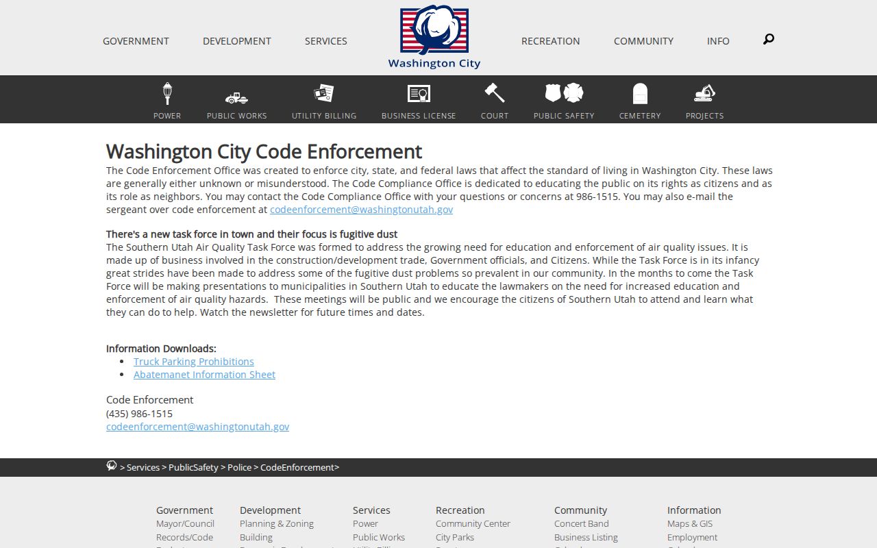
Because no public code case-search portal was located, a defined records request is the proper next step.
Washington Flood and Zoning Layers
Block context can explain why nearby parcels look different without naming a household. County GIS supplies flood, zoning, streets, contours, streams, city limits, subdivisions, address points, and aerial layers. The city map gallery adds facilities, parks, trails, voting districts, cemetery, and historic-site views. Each layer has its own date and accuracy note.
Use these layers to describe a block’s public setting, a subdivision’s mapped relationship, or a historic parcel change. Do not treat a flood polygon as a residence marker, a zoning label as a person record, or a city map as a current association directory. When a layer conflicts with an address or postal result, preserve both outputs and ask the relevant office.